Works on: Windows 10 | Windows 8.1 | Windows 8 | Windows 7 | Windows XP | Windows 2000 | Windows 2003 | Windows 2008 | Windows Vista | Windows 2012 SHA1 Hash: Size: 0 bytes File Format: exe
Rating: 2
out of 5
based on 23 user ratings
Publisher Website: External Link Downloads: 574 License: Free
TileMill is a free software by MapBox, LLC and works on Windows 10, Windows 8.1, Windows 8, Windows 7, Windows XP, Windows 2000, Windows 2003, Windows 2008, Windows Vista, Windows 2012.
You can download TileMill which is 0 bytes in size and belongs to the software category Home and Education. TileMill was released on 2014-05-12 and last updated on our database on 2017-03-31 and is currently at version 0.1.
Thank you for downloading from SoftPaz! Your download should start any moment now. It would be great if you could rate and share:
Rate this software:
Share in your network:
TileMill Description
Creating maps can be a very time-consuming task and not many beginners have the courage to undertake such an endeavor.
But if you are not satisfied with the available online solutions and want to personalize your maps down the tiniest details, there are ways to achieve that.
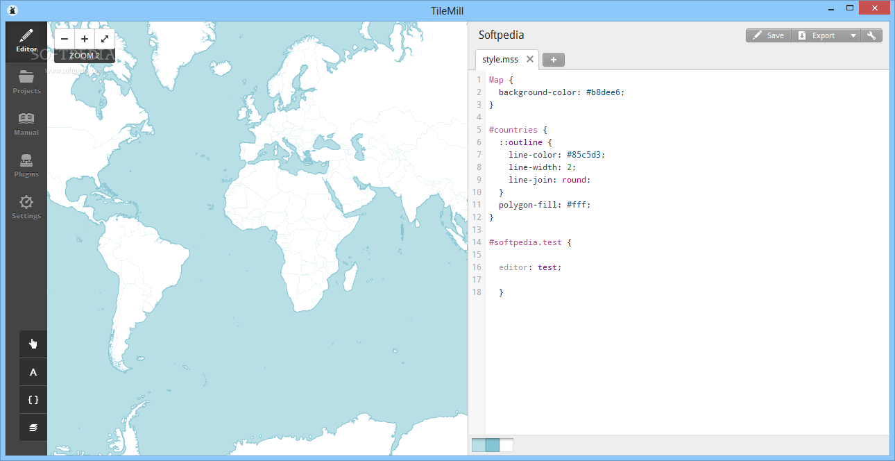
From raw code to images
TileMill manages to introduce a user-friendly environment to the world of map design, by using a simple and easy-to-learn code syntax derived from CSS, called CartoCSS.
The difference between the two is only a matter of purpose, since CartoCSS contains many new custom attributes and classes specially designed for the creation of maps.
Import geographical datasets
The geographical data can be added to TileMill using the built-in CSV importer, that automatically reads the included coordinates and locations. You can use files from the MapBox GeoData Library in your projects, since the application was designed to fully integrate its format.
The imported package is added as a new layer to the project and all the available annotations and locations are visible and editable on your map.
Choose what features to show
Since the maps are usually extremely large, they are viewed from many different perspectives and zoom levels. TileMill outputs millions of 256x256 images packed into Mbtiles documents, which can be used into interactive maps or various web application, thanks to their small size and procedural loading process.
This allows you to choose the level of detail visible at certain zoom levels, and what parts to hide or show as you navigate through it.
Closing arguments
TileMill is a great solution for map designers all over the world, since it includes a wide array of editing features and makes them easily accessible to almost everyone interested in the field of geospatial data manipulation.
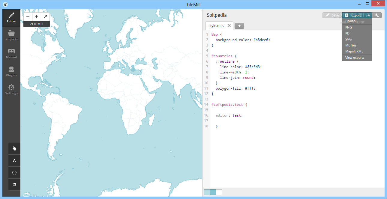
Its intuitive code syntax delivers powerful results with minimal effort involved, and the ability to export the maps to PDF or PNG files makes it extremely versatile.


 Windows XP and above
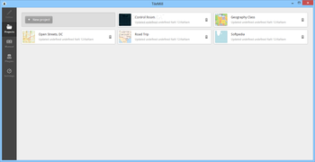
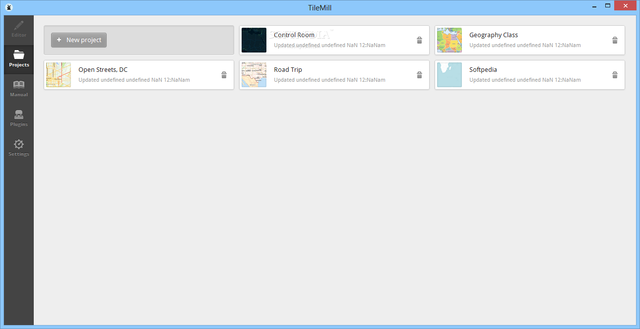
 View Screenshots(7)
 Comments
 Download


 Similar Software
 Recently Searched
 Software Categories
 Trending Software


 Like Us


