Works on: Windows 10 | Windows 8.1 | Windows 8 | Windows 7 | Windows XP | Windows 2000 | Windows 2003 | Windows 2008 | Windows Vista | Windows 2012 SHA1 Hash: 957b963331f341ca30cb03fd4b2814b91889f0b0 Size: 7.97 MB File Format: exe
Rating: 2.478260869
out of 5
based on 23 user ratings
Publisher Website: External Link Downloads: 1633 License: Demo / Trial Version
Total GIS Converter is a demo software by Helmsman and works on Windows 10, Windows 8.1, Windows 8, Windows 7, Windows XP, Windows 2000, Windows 2003, Windows 2008, Windows Vista, Windows 2012.
You can download Total GIS Converter which is 7.97 MB in size and belongs to the software category Science CAD. Total GIS Converter was released on 2013-03-25 and last updated on our database on 2017-03-08 and is currently at version 1.5.
Thank you for downloading from SoftPaz! Your download should start any moment now. It would be great if you could rate and share:
Rate this software:
Share in your network:
Total GIS Converter Description
Total GIS Converter is a lightweight software application whose purpose is to help you convert GIS projects to image formats.
Clean looks
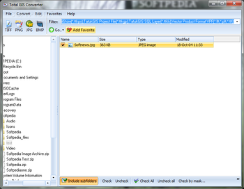
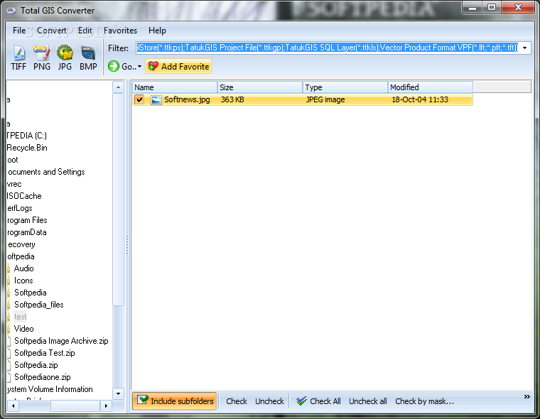
You can work with an Explorer-like panel where you can browse throughout the content of your system in order to pick the target files that you want to convert.
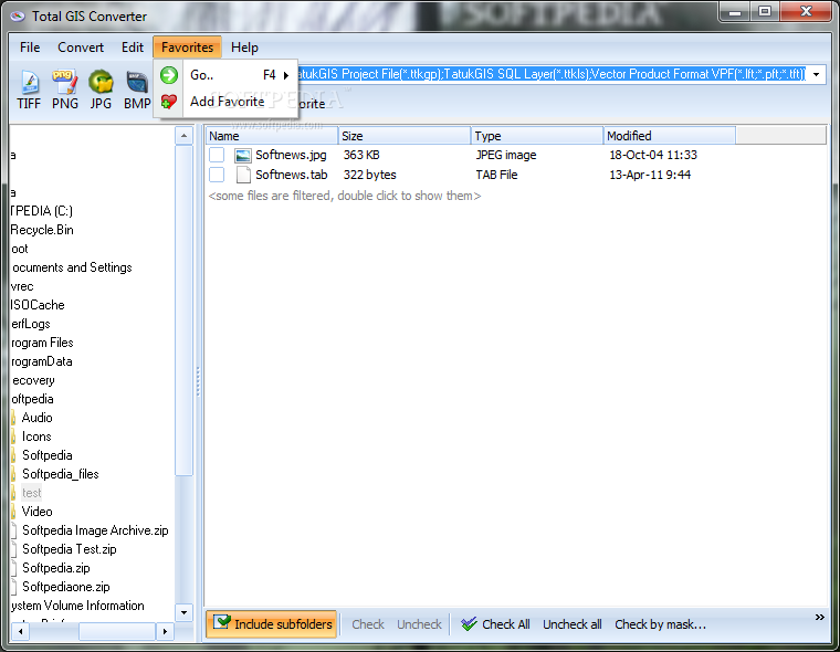
In addition, you can create a list with your favorite locations from your computer so you can quickly access them directly from the toolbar. The tool can also be run via the command-line console.
Supported file formats
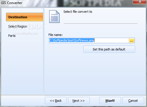
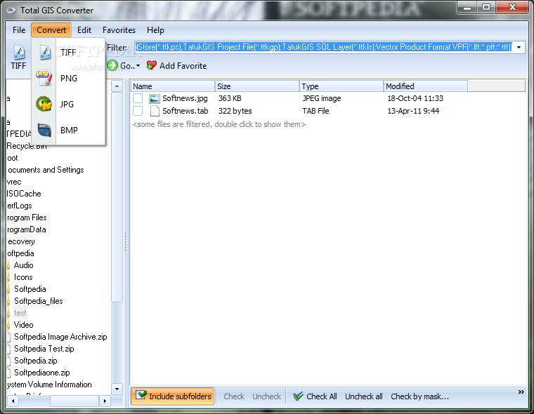
Total GIS Converter allows you to convert AEP, GRD, ADF, E00, FLT, APR, SHP, DXF, BT, TOC, RT1, DEM, DLG, ECW, IMG, DGF, GML, SID, MIF, TAB, WOR, DNG, DDF, BIL, TIF, JPEG, TTKPS, TTKGP, TTKLS, LFT, PFT, and TFT files. The supported output formats are TIFF, PNG, JPEG, and BMP.
Conversion tweaks
The application gives you the freedom to manually select the items that you want to convert. It comes with support for batch processing, which means you can work with multiple files at the same time.
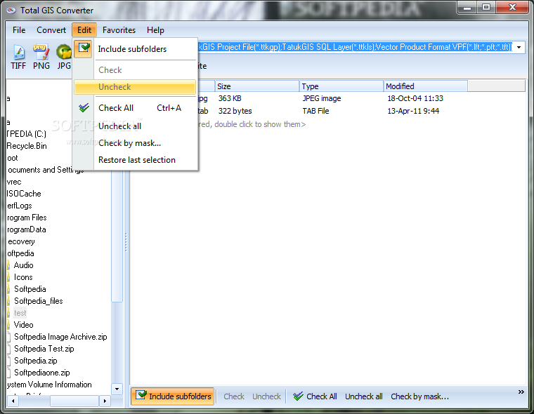
Total GIS Converter provides information about each item, such as name, size, type and modification date, and lets you include subfolders, select all files with a single click, and filter the items displayed in the main panel by extension.
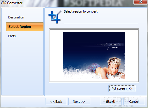
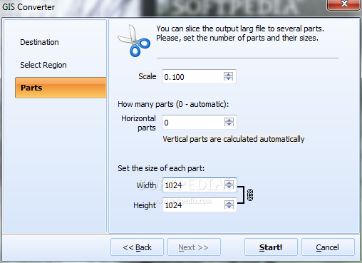
You are allowed to pick the saving directory, maintain the structure of the original folder, set the default path, scale the files, as well as slice output large files to several parts based on a custom number of parts and their sizes.
Performance
Tests have shown that Total GIS Converter executes a task quickly and provides very good output results. It eats up a moderate amount of system resources while processing files.
An overall efficient GIS convertor
In conclusion, Total GIS Converter can be used for quickly converting big GIS files into several parts using batch processing, preserving the original folder structure, and resizing output files to a required size. Its intuitive looks make it an ideal candidate for rookies and advanced users alike.
Where to buy?
Last updated price and discount information 9 years agoupdate now


 Windows 2000 and above
 View Screenshots(7)
 Comments
 Download


 Similar Software
 Recently Searched
 Software Categories
 Trending Software


 Like Us


