Works on: Windows 10 | Windows 8.1 | Windows 8 | Windows 7 | Windows XP | Windows 2000 | Windows 2003 | Windows 2008 | Windows Vista | Windows 2012 File Format: zip
Rating: 1.826086956
out of 5
based on 23 user ratings
Publisher Website: External Link Downloads: 1382 License: Demo / Trial Version
TransLT is a demo software by 3D Space and works on Windows 10, Windows 8.1, Windows 8, Windows 7, Windows XP, Windows 2000, Windows 2003, Windows 2008, Windows Vista, Windows 2012.
You can download TransLT which is 131.65 MB in size and belongs to the software category Science CAD. TransLT was released on 2015-01-24 and last updated on our database on 2017-04-04 and is currently at version 3.1.
We also have TransLT 64bit version which is 161.34 MB in size and will work on x64 computers.
Thank you for downloading from SoftPaz! Your download should start any moment now. It would be great if you could rate and share:
Rate this software:
Share in your network:
TransLT Description
TransLT is a comprehensive application suite that implements four separate tools for working with reference coordinates systems. They are capable of calculating parameters and transforming coordinates, drawing polygons in Google Earth, and converting coordinate files to other formats.
The setup operation may take a while but it doesn't include customization preferences. It's not possible to exclude any of the four components from installation. These utilities are wrapped in a user-friendly interface with a clear-cut structure that enables you to seamlessly figure out the available actions and settings.
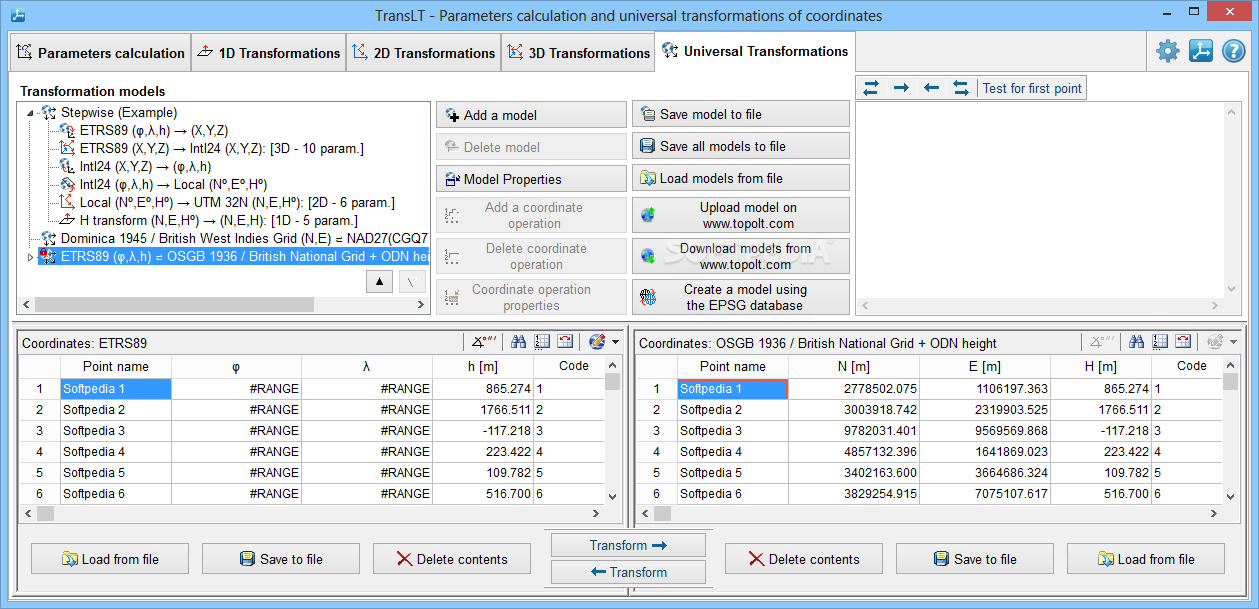
Calculate parameters and transform coordinates
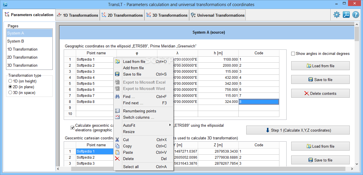
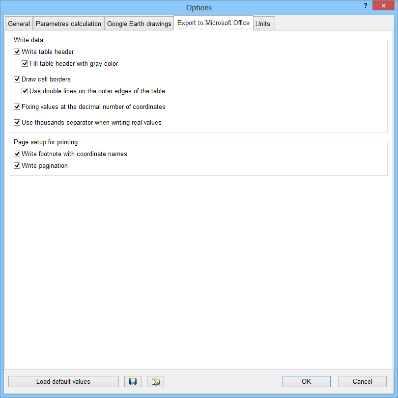
You can work with two pages for manipulating coordinates. This data can be manually typed or loaded from external files, edited, and exported (Microsoft Word or Excel). It's possible to use a basic text search function, change the renumbering modes, swap the columns with coordinates, and ask the tool to calculate geocentric Cartesian coordinates using ellipsoidal elevations.
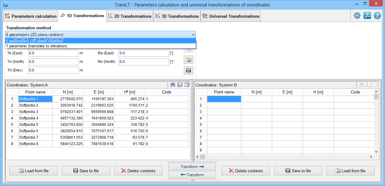
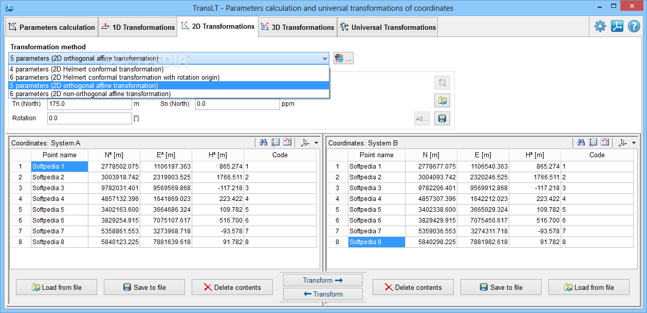
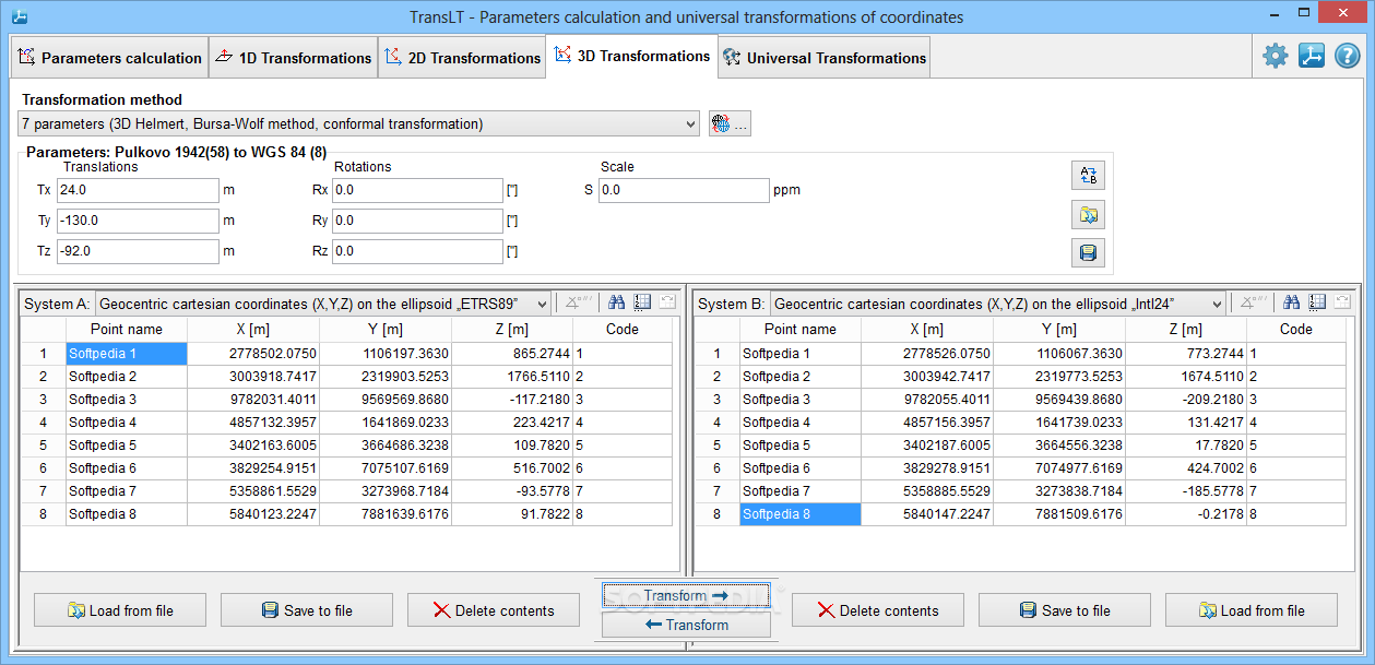
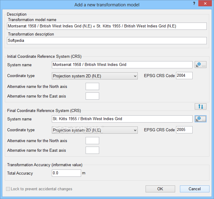
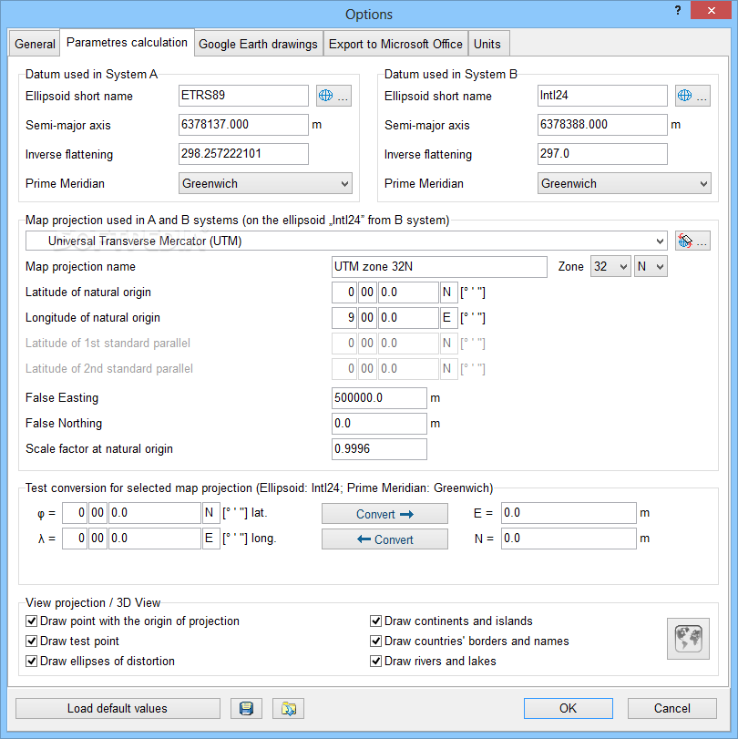
In the following stage you can calculate parameters for transformations on height (1D), in plane (2D) or in space (3D). All you have to do is pick the transformation mode (e.g. 3D plane rotation, translate to elevation, 2D Helmert conformal transformation), load common points, or ask the program to get the best combination possible out of any number of points you specify. These points may be viewed in a 2D or 3D graphical representation.
Draw entities and polygons in Google Earth
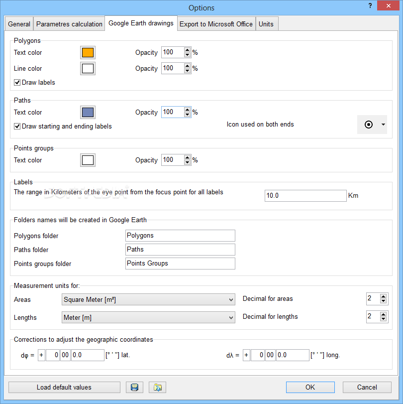
TransLT lets you load entities from external files, in order to prepare them for Google Draw. You can select the entity type and edit the number, description, area, perimeter, color, opacity and line width. Plus, you can choose the elements to add between number, description, area, perimeter, address, destination, usage and URL link. The same rules apply when drawing polygons in Google Earth.
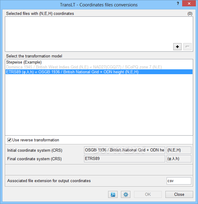
Convert files with coordinates and configure app settings
The conversion tool included in TransLT is very simple to work with. It lets you open files with various extensions (.txt, .coo, .xyz, .geo, .csv), pick the transformation model, apply reverse transformation if necessary, and establish the associated file extension for the output coordinates.
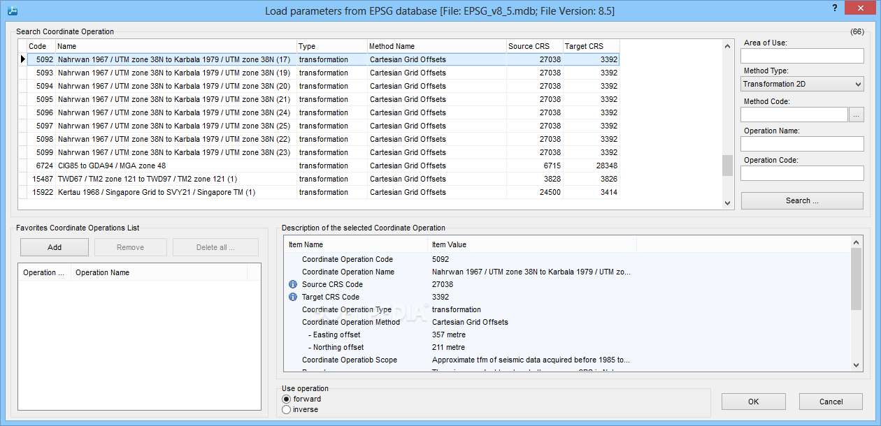
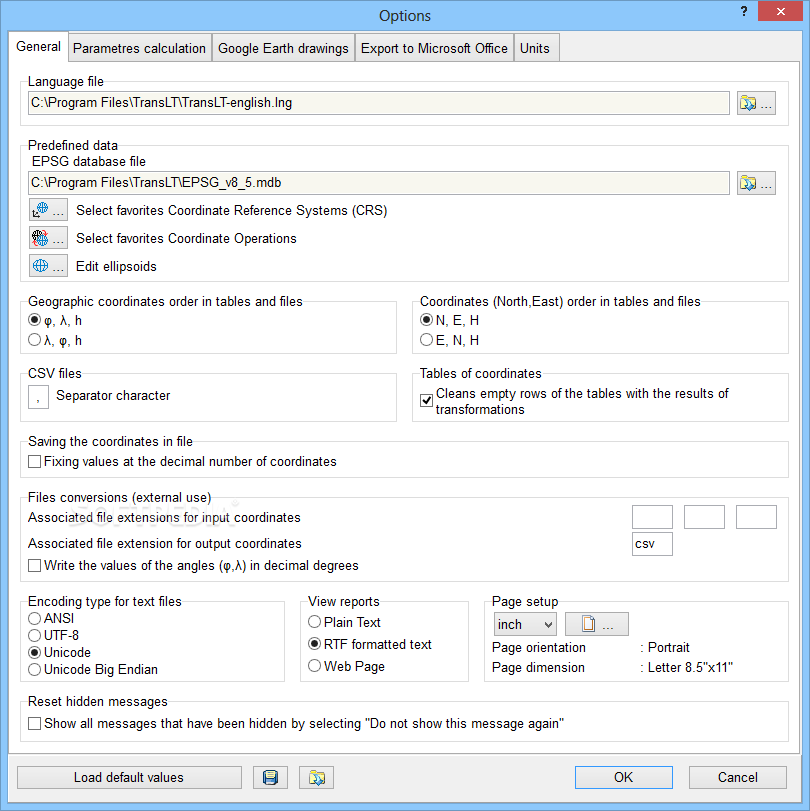
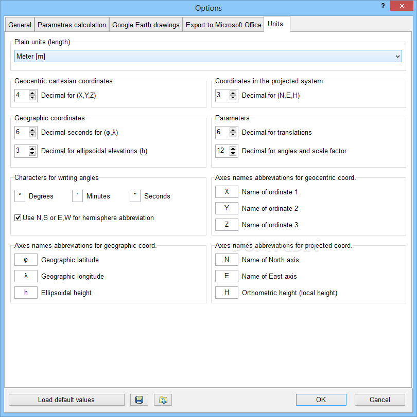
As far as TransLT options are concerned, you can select the favorite coordinate reference systems and coordinate operations, edit ellipsoids, choose the order of geographic coordinates in tables and files, change the CSV delimiter, clean empty rows of tables with the results of transformations, fix values at the decimal number of coordinates when saving them to file, pick the encoding mode, view reports in plain text, RTF or HTML format, configure page setup, customize the text and line colors and opacity for drawings made in Google Earth, and so on.
Evaluation and conclusion
We haven't come across any stability issues in our tests, thanks to the fact that the utility didn't hang, crash or display error messages. Its impact on computer performance was minimal, since it needed low CPU and memory to function normally.
All in all, TransLT proves to be a feature-rich and rather intuitive application suite for handling coordinates, and it should meet the requirements of most users.
Where to buy?
Last updated price and discount information 9 years agoupdate now


 Windows XP and above
 View Screenshots(13)
 Comments
 Download


 Similar Software
 Recently Searched
 Software Categories
 Trending Software


 Like Us


