Works on: Windows 10 | Windows 8.1 | Windows 8 | Windows 7 | Windows XP | Windows 2000 | Windows 2003 | Windows 2008 | Windows Vista | Windows 2012 SHA1 Hash: 957ef46de5885437bb7552cd2e22f77f247e6217 Size: 59.11 MB File Format: exe
Rating: 1.869565217
out of 5
based on 23 user ratings
Downloads: 327 License: Free
GeoServer is a free software by GeoServer and works on Windows 10, Windows 8.1, Windows 8, Windows 7, Windows XP, Windows 2000, Windows 2003, Windows 2008, Windows Vista, Windows 2012.
You can download GeoServer which is 59.11 MB in size and belongs to the software category Home and Education. GeoServer was released on 2013-06-27 and last updated on our database on 2017-04-26 and is currently at version 2.3.
Thank you for downloading from SoftPaz! Your download should start any moment now. It would be great if you could rate and share:
Rate this software:
Share in your network:
GeoServer Description
GeoServer is a Java-based software server that allows users to view and edit geospatial data. Using open standards set forth by the Open Geospatial Consortium (OGC), GeoServer allows for great flexibility in map creation and data sharing. It displays your spatial information to the world. Implementing the Web Map Service (WMS) standard, GeoServer can create maps in a variety of output formats. OpenLayers, a free mapping library, is integrated into GeoServer, making map generation quick and easy. GeoServer is built on Geotools, an open source Java GIS toolkit. GeoServer can display data on any of the popular mapping applications such as Google Maps, Google Earth, Yahoo Maps, and Microsoft Virtual Earth. In addition, GeoServer can connect with traditional GIS architectures such as ESRI ArcGIS.
Whats new in this version:
Version 2.3.3 has improved expose scale hints in WMS capabilities documents.


 Windows XP and above
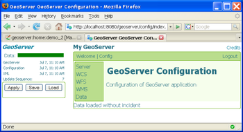
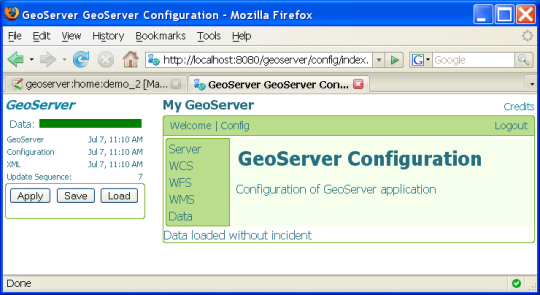
 View Screenshots(1)
 Comments
 Download


 Similar Software


 Recently Searched
 Software Categories
 Trending Software
 Like Us


